Day 36:
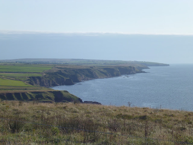
Day 36: I don't really know what to say. I left the B&B hours after the other end to ender. His name is Andrew Martin - look him up and support him in his 30 day bid. He left at 5; I at 8:20. He was walking the same route I walked the day before, in reverse, finishing in Golspie. I posted my used maps and headed north, immediately back in the firing line of the A9. My plan was to stay alive. I thought and did nothing else for the 5 hours 20 minutes it took to reach Wick - a very quick time for me for 21 miles. I stopped to refresh at the most northerly Wetherspoons in the country and was out in half an hour. There were 17 miles until the end. 17 more miles of quite frankly terrifying A road walking. This goes on my list of things I will never do again: bogs (Bodmin Moor), boulder fields (Larig Gru) and A roads (A9/A99). The last 4 days were an action spectacular, never to be repeated. Wick to the far north on the A99 - 2:50 pm to 8:03 pm. The final hour and a half was better as the traffic died and I was able to think about subjects other than my own imminent death and of the deaths of those involved in the accident - my nerves were shredded. This was only broken by the kind gentleman outside whose house I was taking a break. His dog is from Mauritious and his son cycled Jogle years ago. Thanks for the chat - I needed it. I also bumped into another Jogle end to ender walking the other way - we talked for about 10 minutes on the chaotic side of the road - good luck Lucia I hope you made it to Wick! And thank you Sarah for keeping me going. And...I finally saw JoG as the sun set...I saw the end of the land, the blue channel and the Orkneys. I walked to the end. There is no more land. I walked 900 miles. I did it. And I will never have to prove anything to myself again.
DAY 37
A note about the blog
I must be the only LEJOGer without a smart phone. This means I don't have the ability to update this blog when I'm on the trail. My support team back home kindly offered to update the blog for me, so this will be communicated by text message and written up on my behalf. It will therefore be brief and without photos. I will expand on this when I get back from my journal entries, dictaphone recordings and photo journal. The detailed account will be published as a book which will be available on Amazon.
Charity
Thank you to everyone who has made a donation to
Helping Hands for the Blind, a respectable local charity. You can make a donation
here. Using Gift Aid, the charity is able to claim an additional percentage of each donation from the government as part of the
Gift Aid scheme.
While I am not tracking how much has been raised, the charity themselves may wish to do that; leaving a note with your donation such as "LEJOG" will help them do that. To be frank, it's more important that they receive donations than it is for me to take credit; they're actually doing something important whereas I am going on what could be described as a holiday.
My books
Lastly and leastly, I am an independent author. Writing is a pleasure even if reading it isn't! I will write an account of my LEJOG journey in the form of a book which hopefully will encourage other people to give LEJOG a try (and probably discourage many more). If you want a copy, the first batch will be given free of charge. Ask and you shall receive...
My other books are available on Amazon:


Comments
Post a Comment